
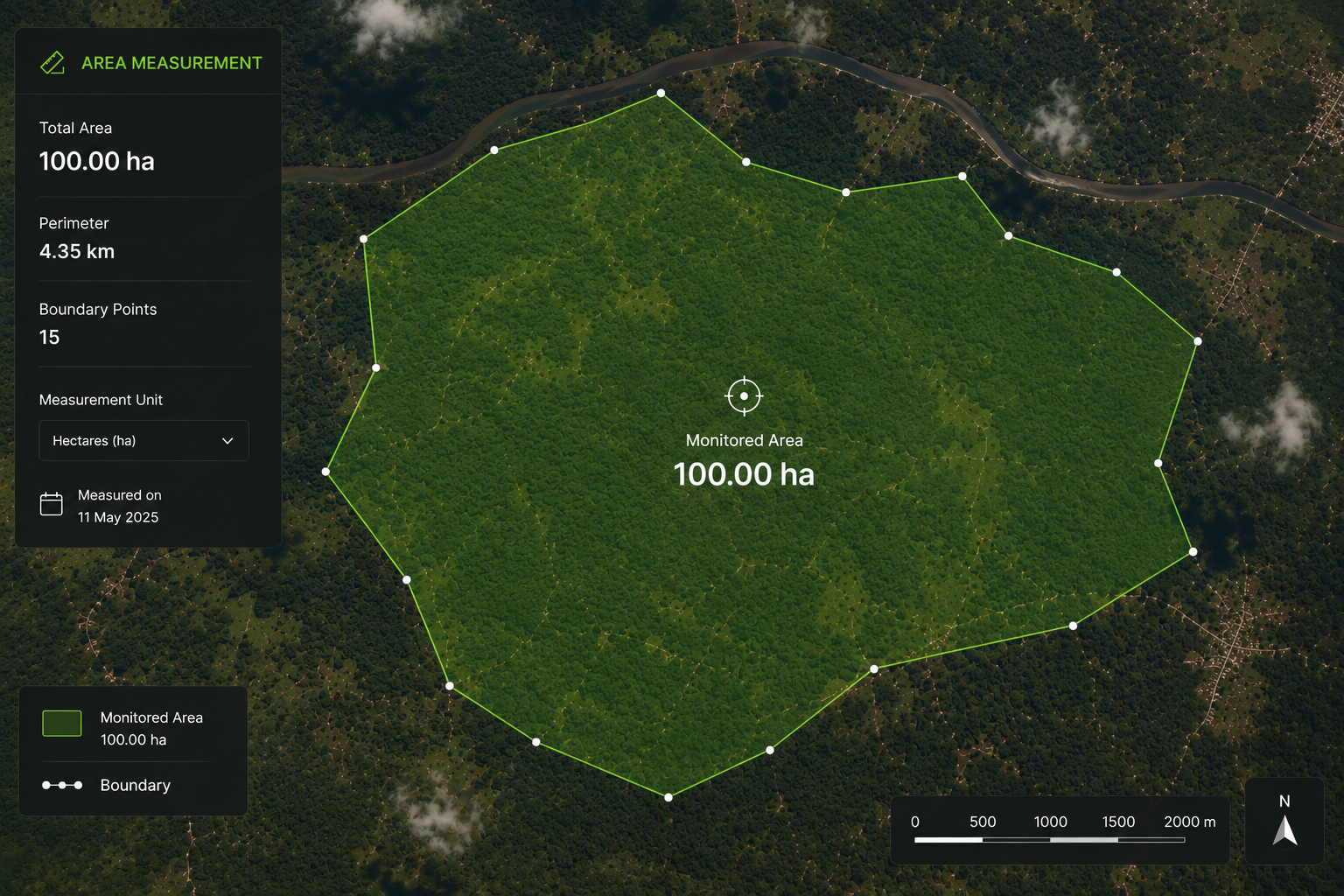
MRV & Monitoring
A comprehensive monitoring, reporting, and verification system that combines satellite imagery, drone surveillance, IoT sensors, and AI‑powered analytics to deliver real‑time, investor‑grade data.
Overview
Our MRV system is built on a multi‑layered technology stack that provides continuous, auditable coverage of every hectare under programme management. Satellite imagery provides monthly change detection. Drone surveillance offers high‑resolution verification of specific areas. IoT sensors deliver real‑time environmental data. AI and machine learning algorithms process all data streams to detect anomalies and generate actionable insights.
The result is a verification‑ready data ecosystem that meets the most stringent requirements of VCS, Gold Standard, and ART TREES — giving investors and buyers complete confidence in every credit issued.
Benefits
- Real‑time data with < 48hr latency
- Verifiable to VCS, Gold Standard, and ART TREES
- Reduced verification costs by 40%
- Transparent, auditable data lineage
How It Works
- Deploy satellite & IoT infrastructure
- Collect multi‑source data continuously
- Analyse with AI & machine learning
- Report via secure dashboard & API
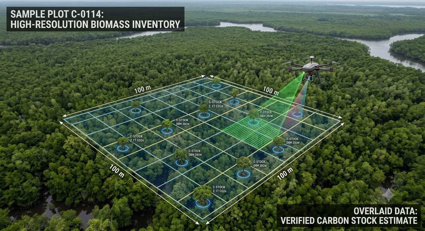 AI‑powered analytics provide real‑time insights for decision‑makers.
Ready to Deploy Investor‑Grade MRV?
Let's discuss how our monitoring and verification system can provide the data integrity and transparency your state's carbon programme requires.